
Prepare
Plan in 2D and 3D: the route follows the paths for hiking, MTB, cycling or skiing, with elevation profile, difficulty, walking time – and when to set off so the climb and the rest are in the sun.
More →Offline maps for the outdoors
Tourello is the outdoor map for hiking, mountain biking, cycling and skiing – on your Android phone, your iPhone, your iPad and your Mac. Download a region once, and the map, search, planning and navigation work without a connection. Your tours live in your own storage, not in someone else's cloud. Tourello is made for tours you plan yourself or adapt – not a collection of tours, but the tool for making your own.
Android: beta test on Google Play – no need to write to us. With the Google account on your phone, join the “Tourello Beta Testers” group, opt in to the test via this link and install Tourello from Google Play. iPhone, iPad and Mac will follow; if you would like to hear when, write to info [at] tourello.org.
Rarely found
Six things you will hardly find in other outdoor apps.
Before, during and after the tour
Tourello is with you from the first look at the map to the memories afterwards.
Plan in 2D and 3D: the route follows the paths for hiking, MTB, cycling or skiing, with elevation profile, difficulty, walking time – and when to set off so the climb and the rest are in the sun.
More →Navigate offline with turn instructions and voice guidance. Stray off the path and Tourello recalculates. The recording runs alongside, easy on the battery, with heights from the terrain model.
More →The tour lands in the archive – in your own storage. On the Mac you geotag your photos and fly the tour in 3D, as a video to share.
More →3D done right
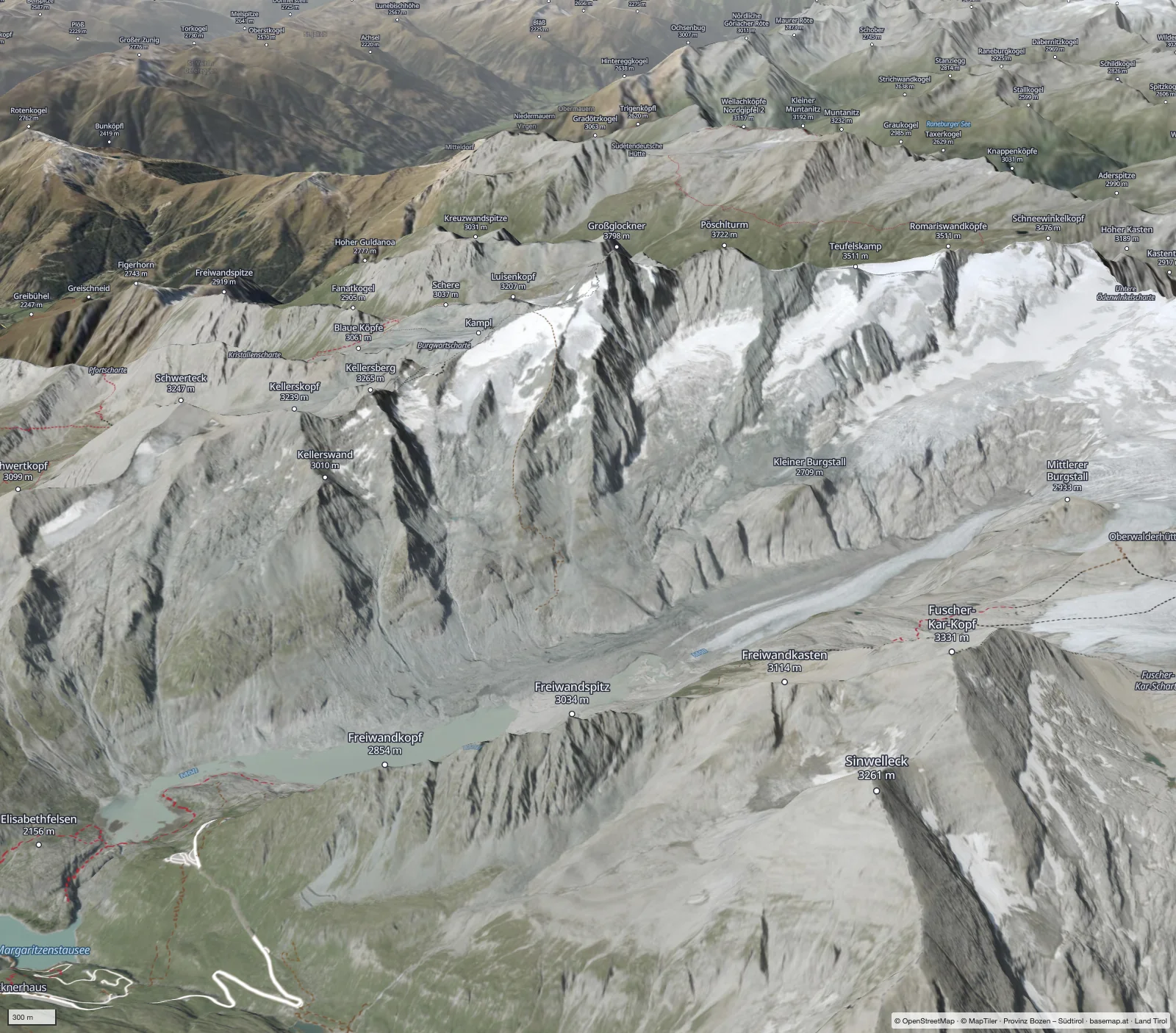
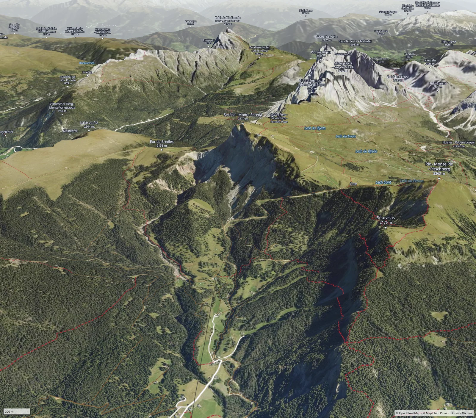
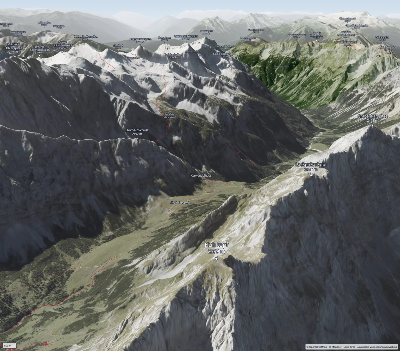
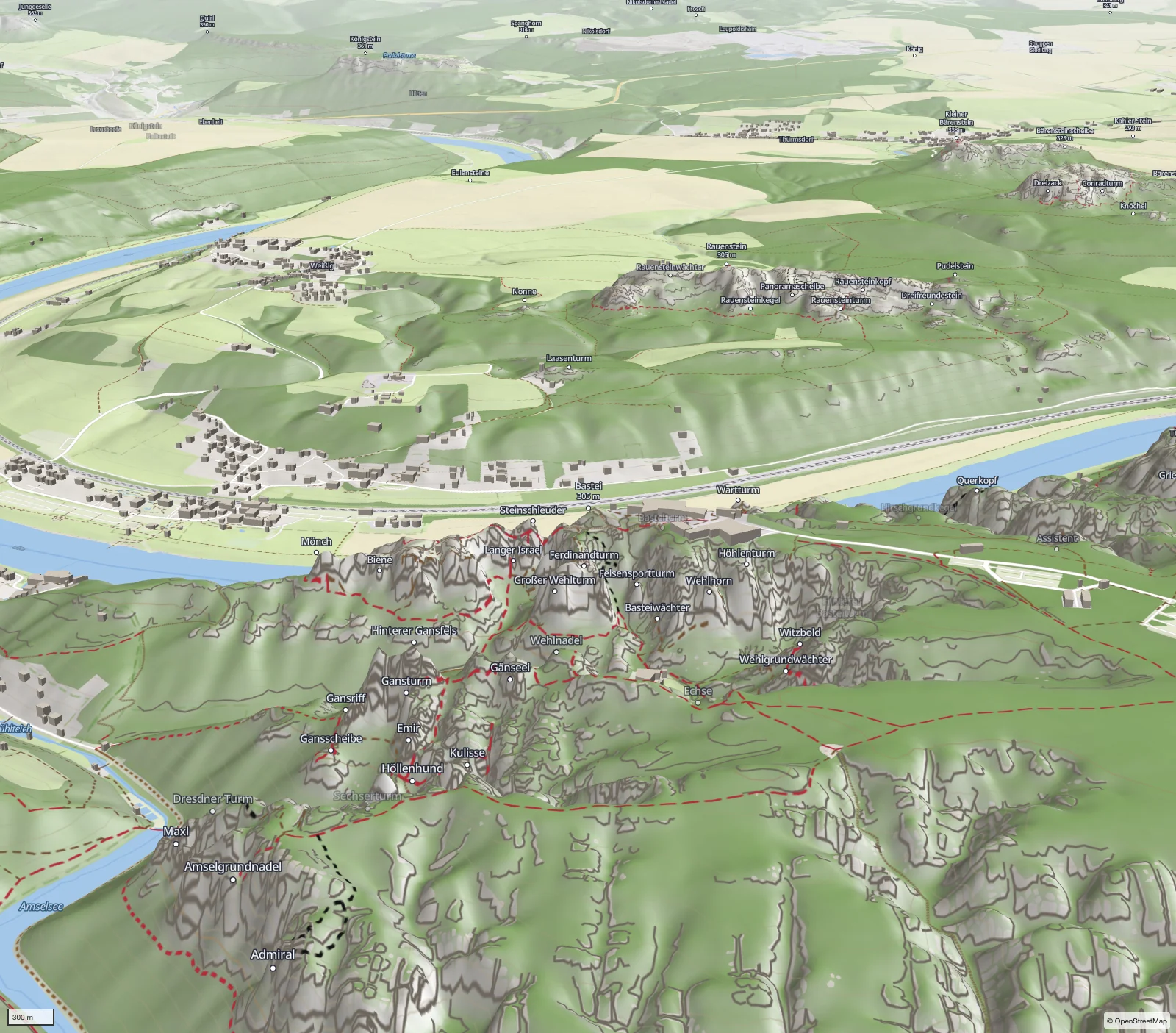
3D is not a separate corner of the app but a view of the map: plans, tours, points and sun stay where they are. Terrain from the national elevation models, aerial imagery down to 20 cm.
Famous places
Matterhorn, Eiger, Mont Blanc, Großglockner – and Bavaria, Corsica and Saxony.
Platforms
Phone and tablet – your companion outside.
On the way on the iPhone, the big screen on the iPad.
Archive and workshop.
We are looking for people who spend a lot of time outside and say honestly what is missing. Tell us which device you use and where you go.